Sunday, March 28, 2010

The Tale of 3 Granvilles

The way communities are named is always an intriguing subject. Two of these towns, Granville Ma and Granville OH have a history. This history involved a disagreement between the citizens of the town, which resulted in a mass emigration. The emigrants of Granville MA created Granville OH. Using epodunk.com, I was able to find population and demographic information.

Granville, MA is a community of 1,521 people whose main ancestry is Irish, English, Polish and German. However, a picture speaks a thousand words.

Granville, MA is a very small rural town with a couple of major arteries running through it. It definitely doesn't appear as successful as the Granville created in Ohio by its former residents.
The Granville in Ohio appears to be doing very well and is easily 2 or 3 times larger than the one in Massachusetts. This community has over 3,000 citizens. Of these citizens, 22% are German, 18% English, and 16% Irish. This ancestry seems to have little correlation with the Granville in Massachusetts, which is slightly odd considering that the origins of the Granville in Ohio is comprised of citizens from the Granville in Massachusetts. The citizens of Granville Ohio are also more prosperous than those in Granville Massachusetts, with median household incomes of $67,000 in Iowa and $53,000 in Massachusetts.

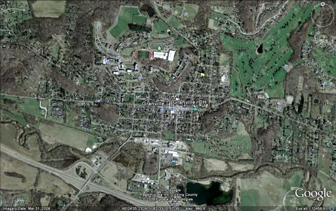
The Granville in Iowa has no history with either of the other two. With only 325 citizens, it also doesn't compare on an economic and prosperity level. In fact, Granville, Iowa has the lowest median income of $33,000. However, an interesting similarity between the Iowan Granville and the Ohioan Granville is the German ancestry. The Ohio Granville has a German ancestry of 22% and the Iowa Granville has a major German ancestry of 51%! Granville, Iowa is obviously a farming community and is probably the occupation of most of the citizens.

The three communities do share some similarities; they are all relatively low population, are mostly rural, and are fairly isolated. Research into the history and formation of these three communities may prove fruitful and may uncover the reason why 2 communities with a history and 1 disparate community have the same name. Here is a good map showing the location of all three in the United States.

Sunday, March 21, 2010

Mapping the News

Mapping the news is a very broad topic and is pervasive in every form of coverage. This includes weather reporting, news stories, geographic events (such as the recent earthquakes), and other forms where a visual representation can result in better understanding of the news. The most obvious uses for maps in the news are for weather, and dynamic maps can be seen every day behind the meteorologist. A good example of mapping news in a common way can be seen at http://seattletimes.nwsource.com/flatpages/local/mappingthenews.html. The Seattle Times uses a GoogleMaps plugin to map the locations of their various news stories. This can help increase the understanding of why the events occur in relation to where they occur.


However, mapping the news does not just have to be limited to the linear “showing the location of something” formula. Marcos Weskamp,

a design engineer specializing in information visuali

zation, has created a remarkable program to map the news.


It is best understood in his own words,

“Newsmap is an application that visually reflects the constantly changing landscape of the Google News news aggregator. A treemap visualization algorithm helps display the enormous amount of information gathered by the

aggregator. Treemaps are traditionally space-constrained visualizations of information. Newsmap's objective takes that goal a step further and provides a tool to divide information into quickly recognizable bands which, when presented together, reveal underlying patterns in news reporting across cultures and within news segments in constant change around the globe.”


Needless to say, this is an amazing piece of technology that is very interesting to use. The program runs in your browser and can be found at this url, http://newsmap.jp/

Give it a try! I spend quite a while looking at both national and international news and came across some very interesting articles.


Wednesday, March 3, 2010

Mapping the V&T Railroad

After Georeferencing several tax assessor maps from the 1918's, I was able to map part of the V&T Railroad. Here are the results layered into Google Earth. As you can see from close-ups of the railroad, the measurements are not exact. This could be explained from errors from the old tax maps or from the coordinate systems used for georeferencing.
Nevertheless, these maps show several interesting geographical features that occured almost 90 years later.
Here are the results:


The Impact of Weather on the Geography of the Planet

As I was researching about mapping history, I discovered research conducted by Boose, Chamberlin, and Foster for the Ecological Society of America. They created a system to analyze the impact of hurricanes on the environment going back several centuries. This system is able to show wind damage, erosion, and several other factors relating to hurricanes and other storms. In this article, the authors analyzed New England hurricane and map data going all the way back to the 1620’s. Through the research, they were able to map forest and building damage, frequency of hurricanes, and many other factors. Here are some examples of their research,


The most interesting aspect of the system they created is the ability to apply it to any area that has sufficient historical records. Although the amount of work is extensive, the authors have already applied their system to several other areas, such as Puerto Rico. This unique system could provide valuable insight into hurricane damage prevention and how these storms impact the environment. The only way the authors’ system can work is through the historic maps that were created centuries ago, and therefore applies very well to ‘Mapping the Historic’.